JACKSONVILLE, Fla. — Beach plans and low-lying roads in Jacksonville stay under a cloud this Halloween weekend, with forecasters keeping a high rip current threat on the books through Sunday evening and river flooding still a concern south of downtown.
Earlier coastal flood warnings along the beaches were eased to advisories, but the river basin of the St. Johns, south of downtown, is still under a Coastal Flood Warning, and low roads, yards and shoreline property there can take on water. Drivers are urged not to steer around barricades or into water whose depth they cannot judge.
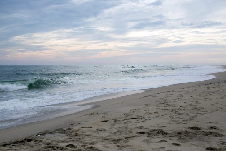
The cause is a stubborn setup offshore. A sluggish low near the Bahamas, working together with high pressure over the Northeast, has kept stiff onshore winds pounding the state’s Atlantic coast for days, and breakers up and down that shoreline could build to roughly seven feet before the weekend is out.
Saturday carries roughly even odds of showers under mostly cloudy skies, with a high in the upper 70s and northeast gusts that could approach 30 mph. Sunday looks unsettled too, with a similar chance of showers plus a few thunderstorms and a high in the mid-70s. Forecasters say the heaviest rain may fall in the part of Northeast Florida below Interstate 10, and a few showers could still be around Monday.
Anyone heading to the sand should stay close to a lifeguard and skip the water when the surf is rough. One bright spot: with roughly five weeks remaining in the Atlantic hurricane season, forecasters see no tropical systems forming for at least a week. The hurricane center outlook is quiet, so the weekend trouble is wind, waves and tides rather than any named storm.
Filed under: Jacksonville FL Weather News