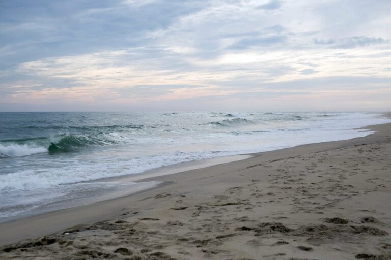
JACKSONVILLE, Fla. — Tidal flooding fed by king tides and a local nor’easter is closing streets, beach ramps and parkland in and around Jacksonville and across the First Coast, and forecasters expect the worst of the water to keep returning with each high tide into midweek.
Forecasters expect moderate flooding near each high tide under a Coastal Flood Warning that lasts until early Wednesday morning for the oceanfront, the Intracoastal Waterway and the St. Johns River basin. The full moon is adding extra push to the tides on Sunday and Monday.
The National Park Service shut the Timucuan Ecological and Historic Preserve on Sunday because of hazardous flooding. The preserve is set to reopen Wednesday, Oct. 28.
In Nassau County, the Fernandina Beach Police Department closed Front Street and Centre Street up to Alachua Street because of major flooding, and it blocked off the 700 block of both Dade and Calhoun streets. Officers want drivers to avoid any standing water and obey the barricades.
St. Johns County also closed or limited some vehicle access ramps onto its beaches as of 1 p.m. Sunday, and closures were reported in parts of Duval County as well.
Wind is the other half of the problem. A Wind Advisory for coastal areas could stretch into Monday afternoon, with gusts of 35 to 45 mph. Offshore, a Gale Warning stays up for local Atlantic waters through Monday night, and small boats should stay in port.
Rough surf and rip currents should linger until late Tuesday, and major beach erosion is possible near high tide at the most exposed spots. Monday brings more clouds and a chance of coastal showers, with highs mostly in the 70s and a few inland spots near the low 80s. Heavier showers that arrive near high tide could make street flooding worse.
Anyone near the coast should check tide times before driving, avoid flooded roads and keep off beaches during high water until the warning ends.
Filed under: Jacksonville FL Weather News