
News Summary
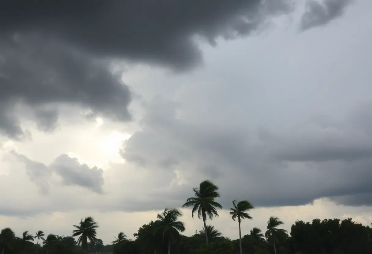
A Weather Impact Alert has been announced for Jacksonville and the First Coast as Tropical Storm Imelda approaches. The storm is expected to bring intense winds, dangerous rip currents, and possible coastal flooding. Residents are advised to stay updated on forecasts as outer bands affect the area with heavy rain starting Sunday night. Tropical Depression 9 is currently organizing nearby, with potential impacts on the U.S. east coast. Precautionary measures are being suggested for residents as emergency services remain alert.
Jacksonville – A Weather Impact Alert has been issued for the First Coast due to the impending approach of Tropical Storm Imelda. The alert is in effect on Monday, September 29, and Tuesday, September 30, as the storm is projected to bring significant coastal impacts to the region.
The First Coast News Weather Team has stated that winds will begin to intensify on Monday afternoon, peaking around Tuesday. Residents are urged to stay informed and check daily for updates on the tropical situation. The expected impacts include dangerous rip currents, large waves exceeding six feet, and possible coastal flooding during high tide.
Outer bands from the storm are expected to start affecting areas on the First Coast with heavy rain and gusty winds beginning Sunday night. As the system approaches, there will be an increased risk of rip currents and rough seas starting late Sunday and lasting into the following week.
Tropical Depression 9, which is organizing just north of the Greater Antilles and near the Southern Bahamas, is currently moving northwest at six miles per hour. As of Saturday morning, the storm was located at latitude 22.0 North and longitude 76.2 West, with maximum sustained winds near 35 mph. Forecasts indicate that the system is expected to strengthen as it continues its path towards the U.S. east coast early next week.
Weather forecasters are monitoring the movement of the storm closely. An upper-level trough and the positioning of high pressure in the atmosphere will significantly influence the storm’s direction and associated impacts. Current forecast models suggest two primary paths: a westward approach toward the U.S. or a more easterly trajectory out over the Atlantic.
In light of the potential impacts of Tropical Depression 9, the Central Bahamas has been placed under a Tropical Storm Warning, while parts of Florida are under a Tropical Storm Watch. Precautionary measures are being advised for residents in these areas as the storm develops.
Additionally, Humberto, another tropical storm, has intensified to a Category 5 status and is located approximately 600 miles east of the United States. With sustained winds of 160 mph, Humberto is moving slowly and is expected to influence other weather systems, including Tropical Depression 9. However, long-range forecasts suggest that Humberto will likely turn northeast toward Bermuda, posing no direct threat to the U.S. mainland.
The National Weather Service (NWS) is launching special hurricane reconnaissance missions to assist in forecasting the storms more accurately. Residents across the Caribbean, the Bahamas, and the southeastern United States are encouraged to remain updated on forecasts and prepare for possible storm-related impacts.
As preparations continue, communities are reminded of the importance of staying informed about weather developments. Emergency services and local governments are on alert for possible evacuations and response measures should the situation further deteriorate. Current models are being closely watched to ensure public safety as both Tropical Depression 9 and Humberto remain active in the Atlantic.
Deeper Dive: News & Info About This Topic
HERE Resources
Additional Resources
- Action News Jax: Tropical Storm Watch Parts FL East Coast
- First Coast News: Tropical Storm Humberto Forecast
- Jacksonville.com: Tropical Disturbance Near Bahamas
- News4Jax: Tracking the Tropics PTC-9 Continues to Strengthen
- News4Jax: Tropics are a Big Talker
- Wikipedia: Tropical Cyclone
- Google Search: Tropical Storm Updates
- Google Scholar: Tropical Storms Meteorology
- Encyclopedia Britannica: Tropical Cyclone
- Google News: Tropical Storms

Author: STAFF HERE JACKSONVILLE WRITER
The JACKSONVILLE STAFF WRITER represents the experienced team at HEREJacksonville.com, your go-to source for actionable local news and information in Jacksonville, Duval County, and beyond. Specializing in "news you can use," we cover essential topics like product reviews for personal and business needs, local business directories, politics, real estate trends, neighborhood insights, and state news affecting the area—with deep expertise drawn from years of dedicated reporting and strong community input, including local press releases and business updates. We deliver top reporting on high-value events such as the Jacksonville Jazz Festival, Riverside Arts Market, and World of Nations Celebration. Our coverage extends to key organizations like the Jacksonville Chamber of Commerce and JAXUSA Partnership, plus leading businesses in logistics, healthcare, and entertainment that power the local economy such as CSX Corporation, Baptist Health, and VyStar Credit Union. As part of the broader HERE network, including HEREOrlando.com, HEREStPetersburg.com, HERETallahassee.com, and HERETampa.com, we provide comprehensive, credible insights into Florida's dynamic landscape.